
Schein & Schein Old Maps
For People Who Love Maps
Shop Now
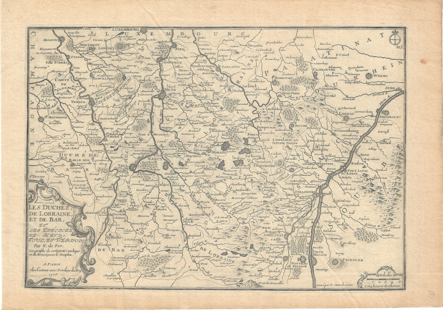
1715 Map of the Duchy of Lorraine & de Bar w/ text description
Map of the Duchy of Lorraine and text page in description of the states of Lorraine and the Bar. Intaglio copper engraved plate 9" x 13.5" . printed on hand laid papers 11" x 15.5" quatro folio of the period. Exceptional line work and clear impressions on these images and maps by native son Nicolas De Fer. From a 1715 edition of De Fer's Atlas Curieux , filled with detailed land maps and descriptive text in support of Louis XIV, a central government and the advances of the French Royal class in Architecture, Agriculture and Industry . Fine condition on these library de-accession items
Always striving to bring a selection of maps to meet most map lovers needs.
Images for all inventory is an on-going project so let us know if image is necessary to make your purchase. Thank you!
