
Schein & Schein Old Maps
For People Who Love Maps
Shop Now
Categories
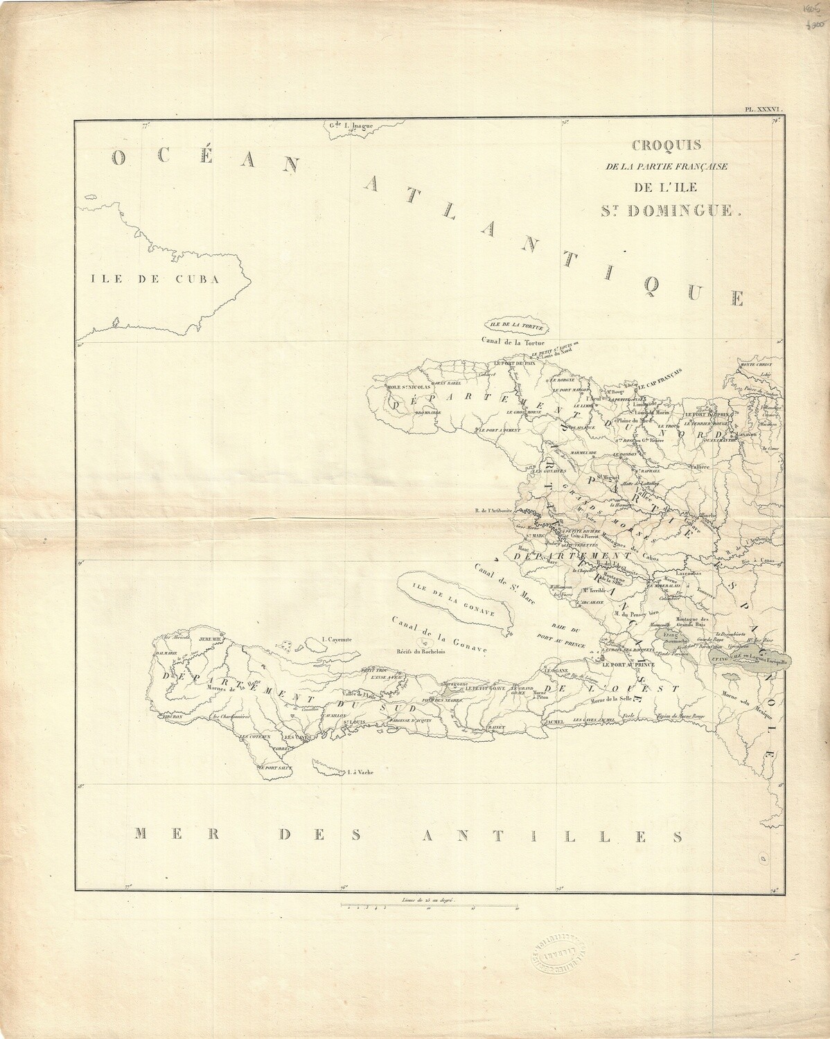
1805 Map of Saint Domingue - Dominican Republic / Haiti
$200.00
In stock: 1 available
Product Details
Croquis de la Partie de L'Ile Saint Domingue. A piece from an unknown French atlas from around 1805. An interesting map essentially documenting the Haitian independence of 1804 when 1/2 of Saint Domingue became Haiti. Map could be one of the last records where Saint Domingue is represented. Made on fine hand-laid paper with good town and waterway detail. Very good condition. 16 x 20"
Save this product for later
1805 Map of Saint Domingue - Dominican Republic / Haiti
Display prices in:USD
Always striving to bring a selection of maps to meet most map lovers needs.
Images for all inventory is an on-going project so let us know if image is necessary to make your purchase. Thank you!
