
Schein & Schein Old Maps
For People Who Love Maps
Shop Now
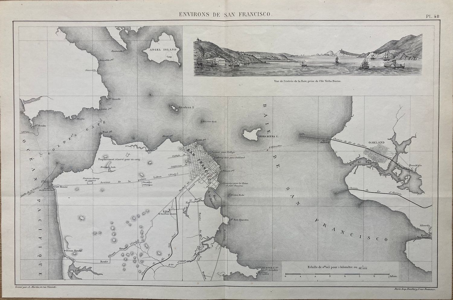
1850 View and Chart: Environs de San Francisco by Fraillery
12 x 18" lithographic map in pristine condition. Published by Fraillery in Paris and engraved by A. Martin is about all we've found on this map yet. Its time frame is 1850-56 based on size and growth of San Francisco. A map and chart both, it contains house count for new structures within both Oakland and San Francisco, new moles for the ferries transporting between the two sides of the Bay, established grids and data for entering the Golden Gate , with a landfall view of the entrance to the bay as seen from Yerba Buena Island , looking west.
Always striving to bring a selection of maps to meet most map lovers needs.
Images for all inventory is an on-going project so let us know if image is necessary to make your purchase. Thank you!
