
Schein & Schein Old Maps
For People Who Love Maps
Shop Now
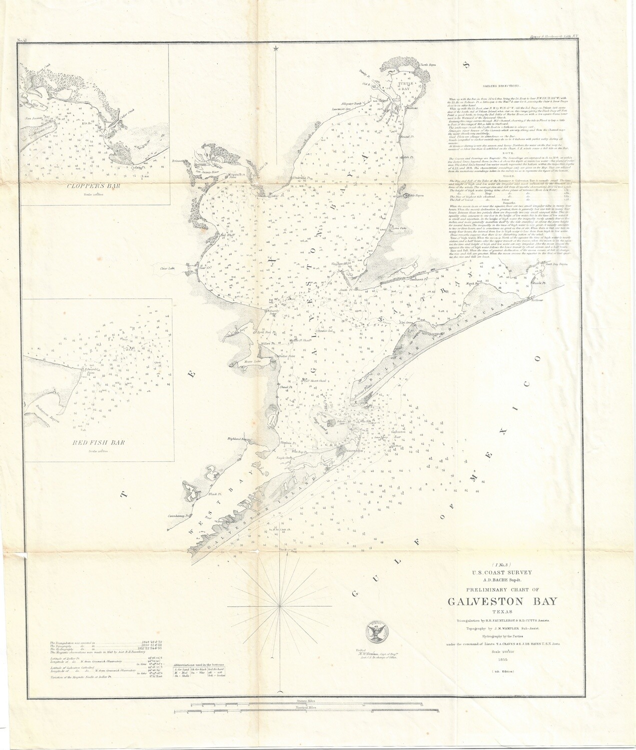
1855 USCS Galveston Bay
US Coast Survey , another preliminary chart of Galveston Bay in Texas. An important early port city and primary port for the State of Texas, then and now. Houston is placed inland from here due to the history of devastating storms and hurricanes impacting this location every 25 to 30 years. The configuration has shifting sand bars and a long split where on the city is placed, all broadside to the incoming storm pattern and tides. One of several in the collection each showing more detail and greater content , Measures 19 x 22 , uncolored. Best Condition of all in stock
Always striving to bring a selection of maps to meet most map lovers needs.
Images for all inventory is an on-going project so let us know if image is necessary to make your purchase. Thank you!
