
Schein & Schein Old Maps
For People Who Love Maps
Shop Now
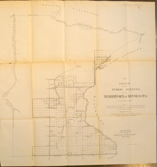
1856 Public Surveys Territory of Minnesota
"Sketch of the Public Surveys in the Territory of Minnesota" made by the Surveyor General's Office in St. Paul, MN, 1856. 22" x 23" in size. Fine lithographic survey map of Minnesota showing the surveyed lands as of October 26th, 1856. Dotted lines indicate township boundaries and the broader shaded area indicates the perimeter of the survey. Nice map with good period content for the state. Fine condition.
These Federal documents have been scanned in their storage bags to show all details while protecting the maps. The crease tanning looks more severe than it is. Creases with splits are noted and not uncommon on these early folding maps . Creases and splits can be repaired upon request , but we leave them until sold. As with all our inventory, if more photos are needed or an offer at less than list price would be presented, please email scheinprints@sbcglobal.net
Always striving to bring a selection of maps to meet most map lovers needs.
Images for all inventory is an on-going project so let us know if image is necessary to make your purchase. Thank you!
