
Schein & Schein Old Maps
For People Who Love Maps
Shop Now
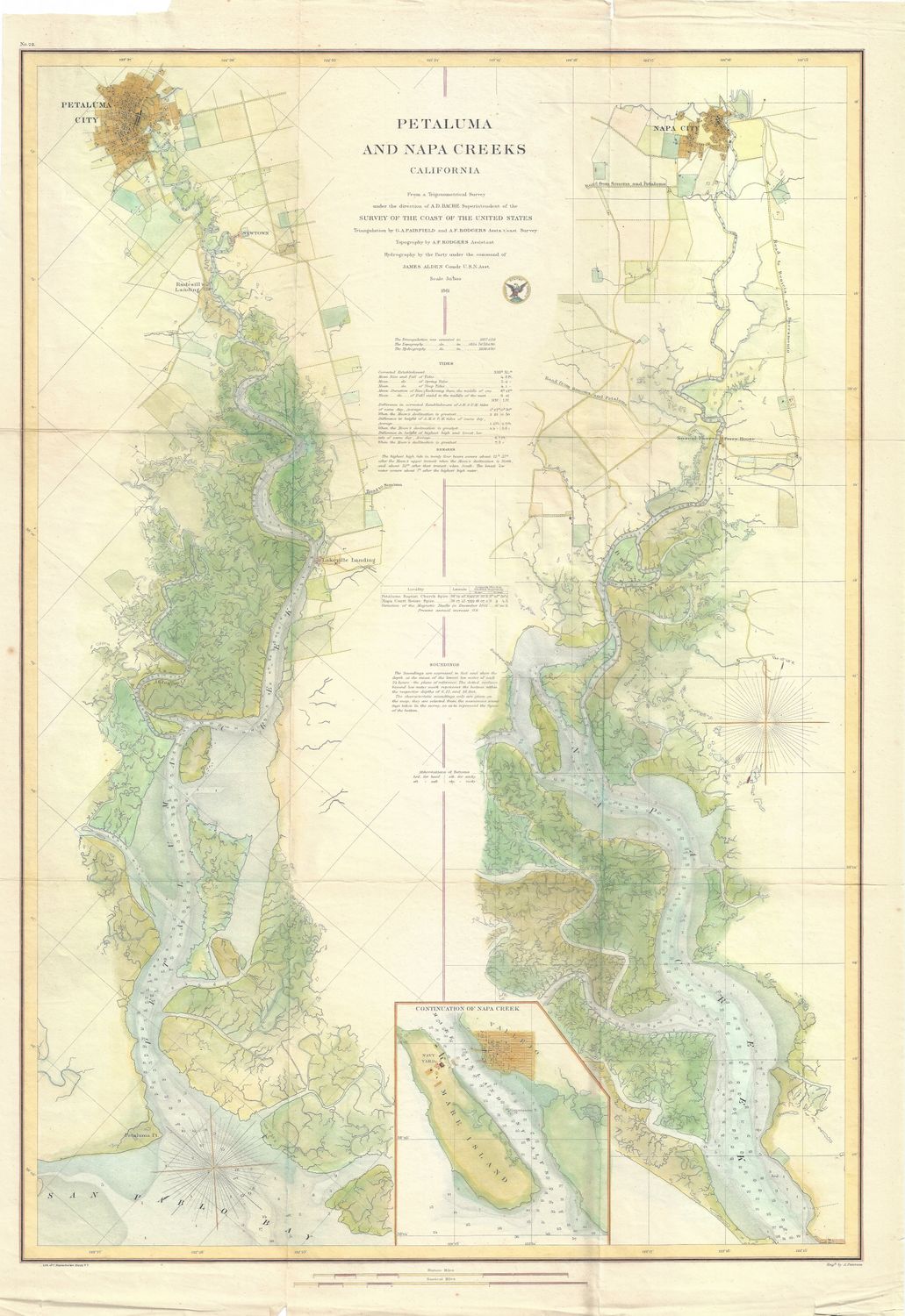
1861 USCS Petaluma and Napa Creeks sheet
Rarely available original USCS chart of the rivers of the San Pablo Bay, Petaluma and Napa, California. Microprinted in the detail of copper engraving with expert hand water color to highlight the topographic and riparian information. Early and primary , this map has some of the worlds most expensive agricultural lands and natural resources documented , including the US Navy's first western station on Mare Island . Information surveyed and withheld until after the civil war , released in 1866.
fine condition on this folding federal document
Always striving to bring a selection of maps to meet most map lovers needs.
Images for all inventory is an on-going project so let us know if image is necessary to make your purchase. Thank you!
