
Schein & Schein Old Maps
For People Who Love Maps
Shop Now
Categories
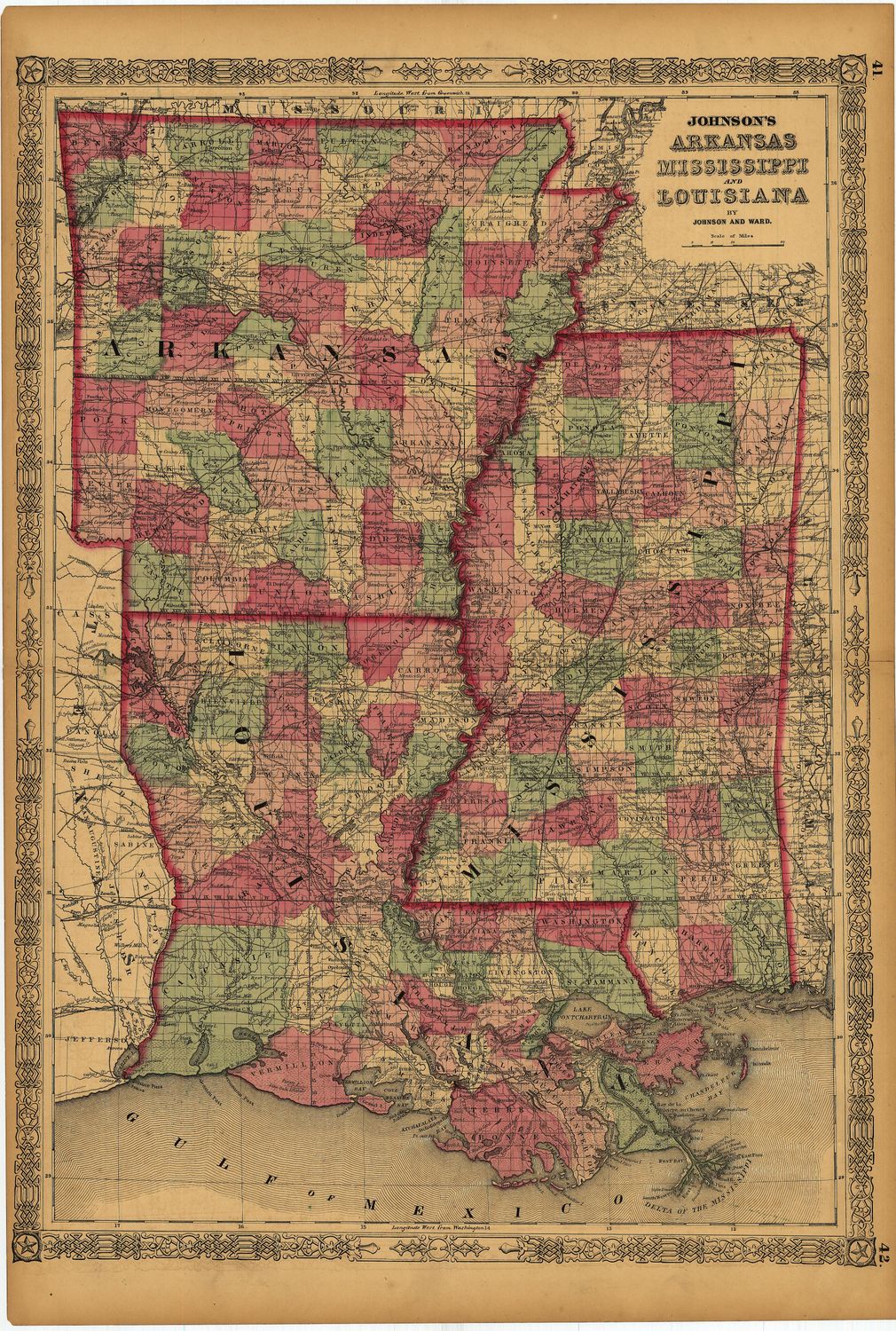
1863 Map of Arkansas, Mississippi, Louisiana by Johnson and Ward
$85.00
In stock: 1 available
Product Details
18 x 27" double folio map in lithography with original hand water color by Johnson & Ward of New York City, Ny.
Fine condition on this mid-Civil War era map of the Southern slave belt and causeway of the Mississippi River . Train routes and known Roads evident, hand water colored as a secondary process by the publisher to support Parish , County and State boundaries. Insightful real time information at a time of great conflict for those with the map in 1863.
Save this product for later
1863 Map of Arkansas, Mississippi, Louisiana by Johnson and Ward
Display prices in:USD
Always striving to bring a selection of maps to meet most map lovers needs.
Images for all inventory is an on-going project so let us know if image is necessary to make your purchase. Thank you!
