
Schein & Schein Old Maps
For People Who Love Maps
Shop Now
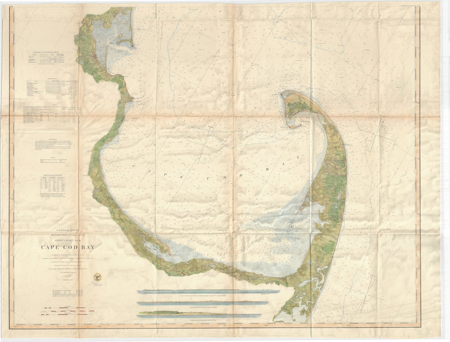
1872 USCS Chart of Cape Cod Bay with Hand Color
Very Large 35.5 x 41.5" lithographic map in micro-printed detail, derived from a copper engraving master sheet from the US Coast Survey of 1872. This map has been expertly hand water colored to reinforce the iconography of the map which contains no less than 140 different icons to explain the contents . Fine condition on this rare and desirable example . Provincetown and Harbor and all the other communities heading inland along the waters edge documented with a building survey, grid imposition and full topography and riparian details. Early and accurate to within 6" . Through color, a unique creation from an otherwise lost map of the Cape Cod Bay . Microprinted means it has all the details but printed very, very small to cover a large area, being several surveys reduced and conjoined for a more comprehensive map. One of the most recognizable geographic locations on the eastern seaboard
Always striving to bring a selection of maps to meet most map lovers needs.
Images for all inventory is an on-going project so let us know if image is necessary to make your purchase. Thank you!
