
Schein & Schein Old Maps
For People Who Love Maps
Shop Now
Categories
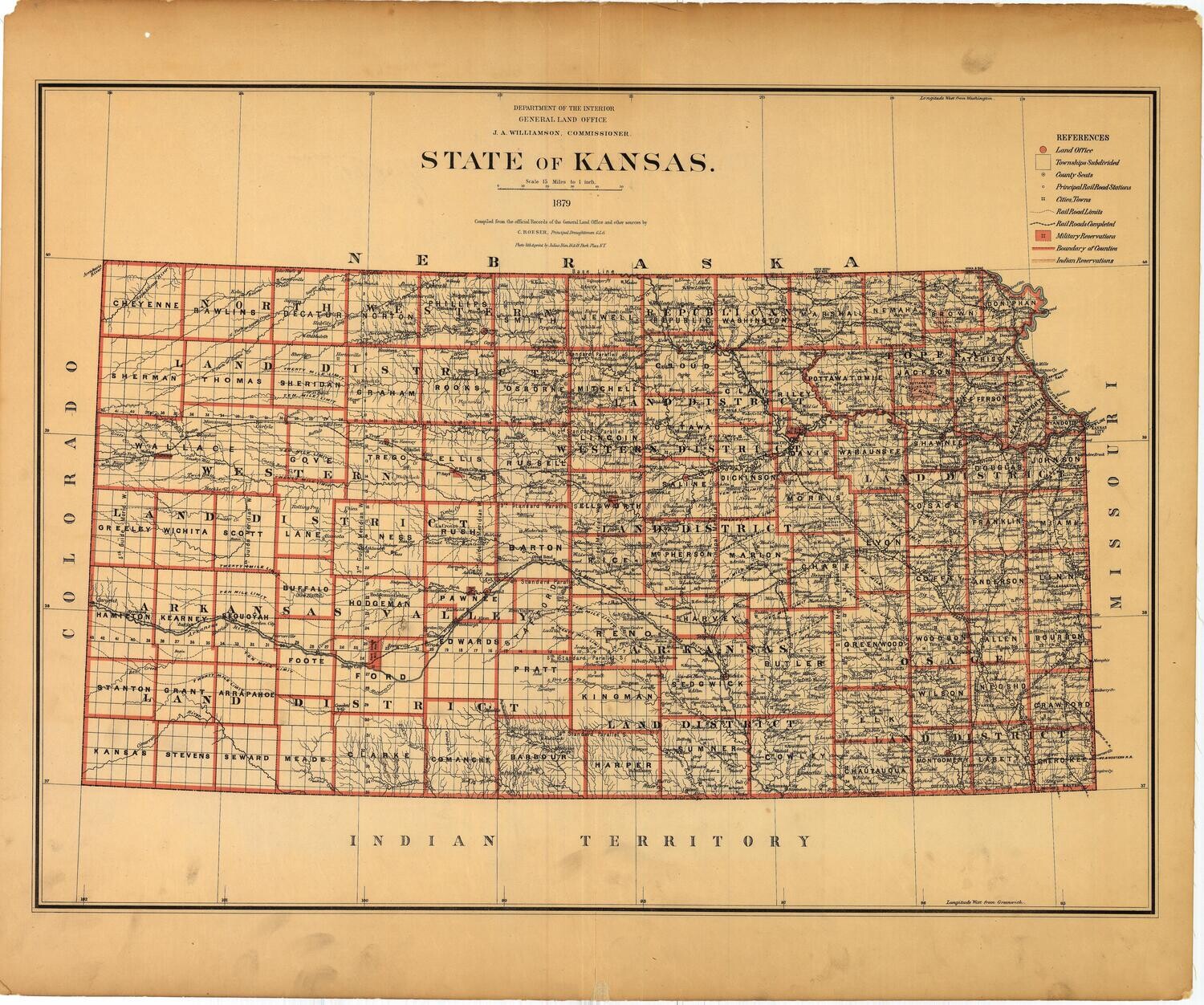
1879 Map of the State of Kansas by the GLO
$350.00
In stock: 1 available
Product Details
Map of the State of Kansas by the General Land Office, published in 1879 under Commissioner J. A. Williamson, by Draughtsman C. Roeser. Beautiful map in orange and black, with full reference list noting land office, twonships, county seats, cities/towns, military and Indian reservations, etc. Map is backed with linen and in great condition. Approx. 27 x 32 inches.
As with all our inventory, if more photos are needed or an offer at less than list price would be presented, please email scheinprints@sbcglobal.net
Save this product for later
1879 Map of the State of Kansas by the GLO
Display prices in:USD
Always striving to bring a selection of maps to meet most map lovers needs.
Images for all inventory is an on-going project so let us know if image is necessary to make your purchase. Thank you!
