
Schein & Schein Old Maps
For People Who Love Maps
Shop Now
Categories
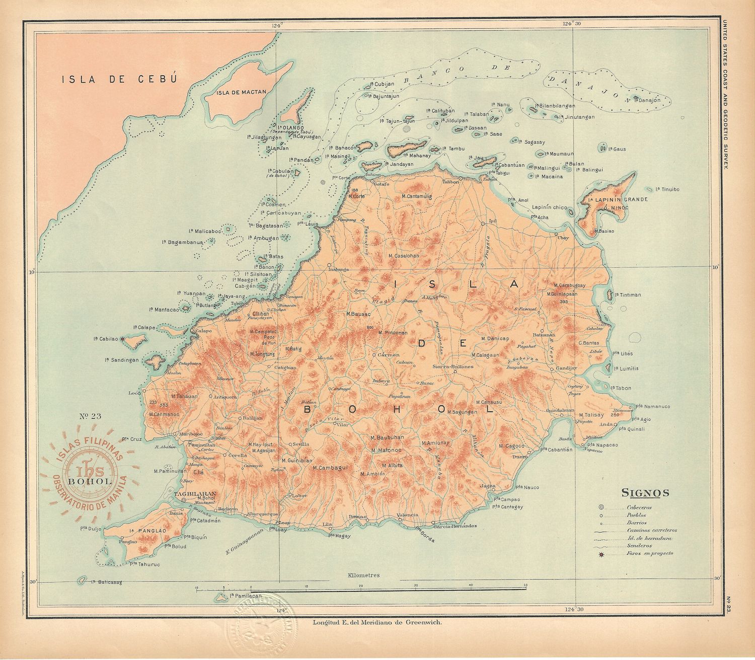
1899 USC&GS Islas Filipinas Maps of the Philippine Islands- No.23 Bohol
$75.00
In stock: 1 available
Product Details
13" x 15" chromolithographic map from the Spanish Governmental Surveys of 1896, provided to the American government as part of the conditions of the Treaty of Paris ending the Spanish American War. Detailed maps of many important islands, but by no means the possible 7600 islands in this nation. Top quality printing and accurate surveys providing topography and a detailed legend are the backbone of this series on the Philippines. Fine condition on this library de-accessioned item with blind stamp from the US Department of the Navy
Save this product for later
1899 USC&GS Islas Filipinas Maps of the Philippine Islands- No.23 Bohol
Display prices in:USD
Always striving to bring a selection of maps to meet most map lovers needs.
Images for all inventory is an on-going project so let us know if image is necessary to make your purchase. Thank you!
