
Schein & Schein Old Maps
For People Who Love Maps
Shop Now
Categories
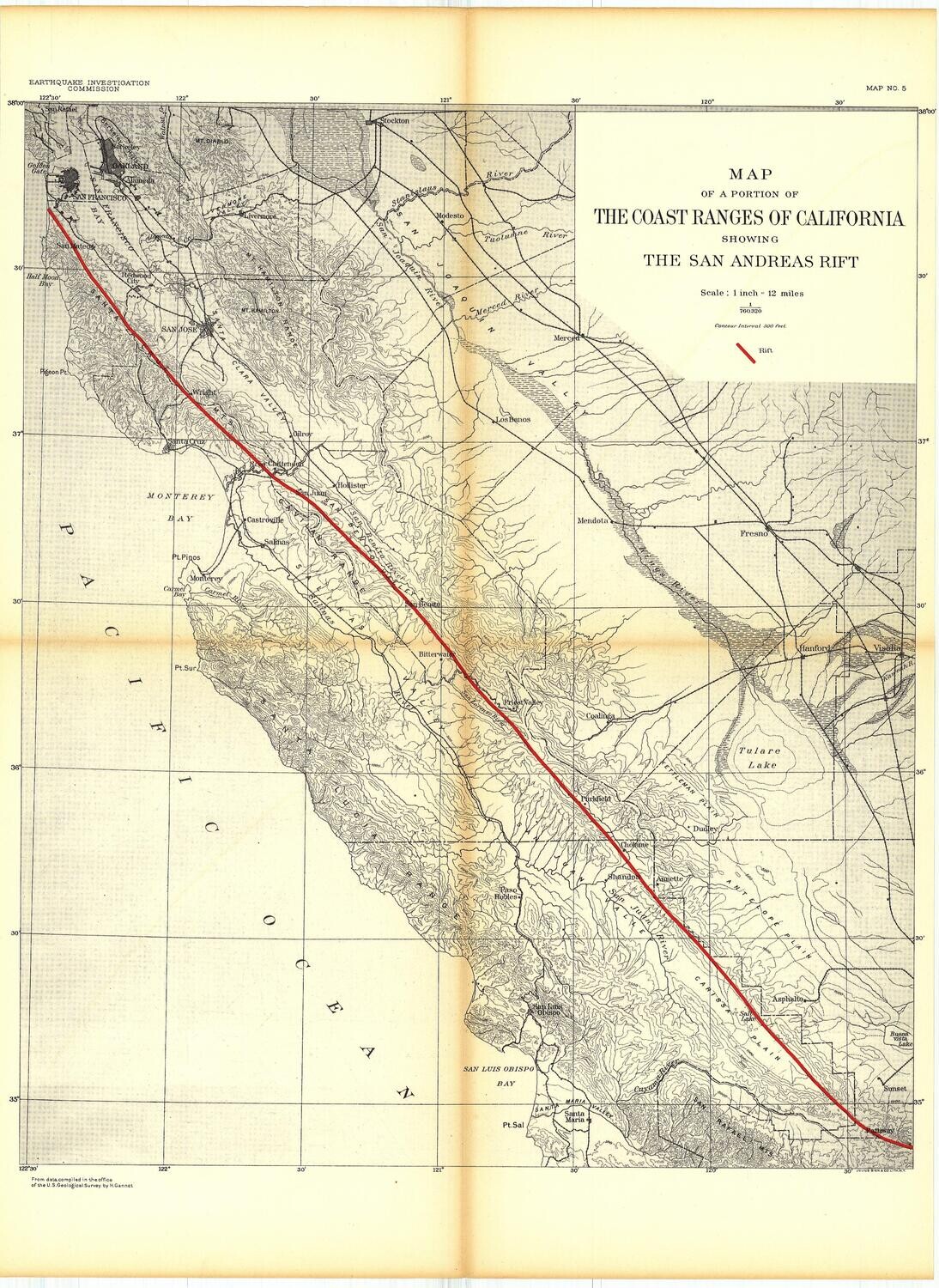
1908 EQIC Map of Coast Ranges of CA San Andreas Fault
$125.00
In stock: 1 available
Product Details
Topographic map of a portion of the coast ranges of California from San Francisco to San Luis Obispo, with the San Andreas Rift shown in red. Published by the Earthquake Investigative Commission after the 1906 EQ & Fire. In good condition with some tanning along fold lines. 22 x 16 inches
Save this product for later
1908 EQIC Map of Coast Ranges of CA San Andreas Fault
Display prices in:USD
Always striving to bring a selection of maps to meet most map lovers needs.
Images for all inventory is an on-going project so let us know if image is necessary to make your purchase. Thank you!
