
Schein & Schein Old Maps
For People Who Love Maps
Shop Now
Categories
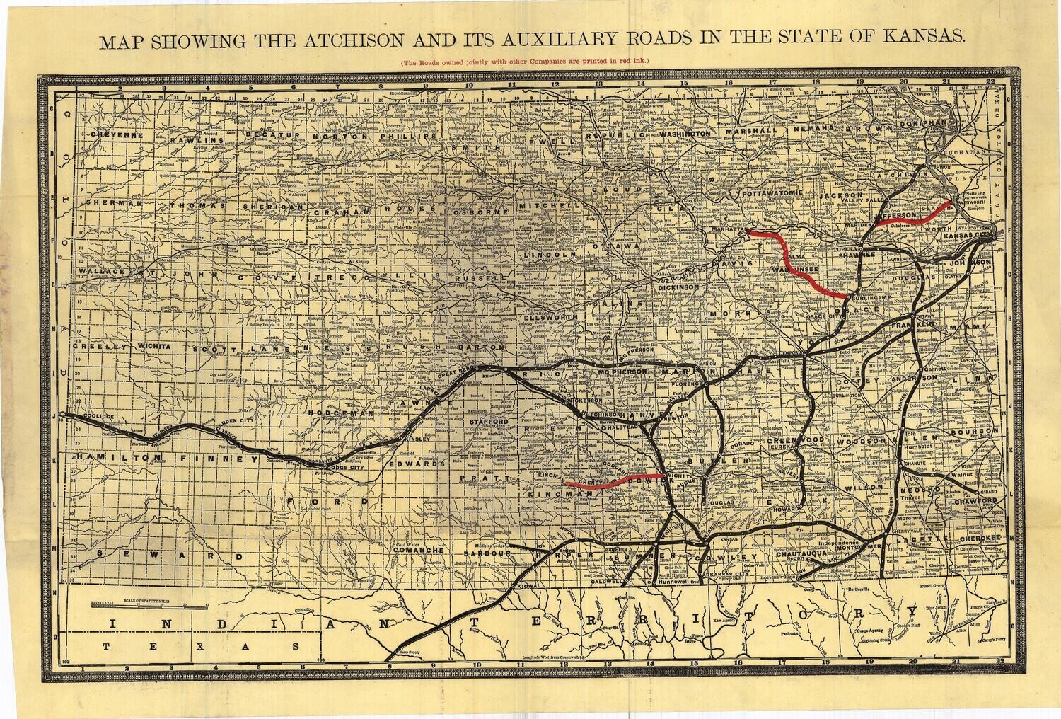
1913 Atchison, Topeka & Santa Fe Railroad Map of the State of Kansas in Color Lithography
$175.00
In stock: 1 available
Product Details
ATSF (Atchison, Topeka, Santa-Fe) Railway Map of Kansas. Showing the Atchison and Its Auxiliary Roads, with roads owned by other companies printed in red. Published circa 1913. Folding map printed on a thin paper, in great condition. Approx. 16 x 24 inches.
Save this product for later
1913 Atchison, Topeka & Santa Fe Railroad Map of the State of Kansas in Color Lithography
Display prices in:USD
Always striving to bring a selection of maps to meet most map lovers needs.
Images for all inventory is an on-going project so let us know if image is necessary to make your purchase. Thank you!
