
Schein & Schein Old Maps
For People Who Love Maps
Shop Now
Categories
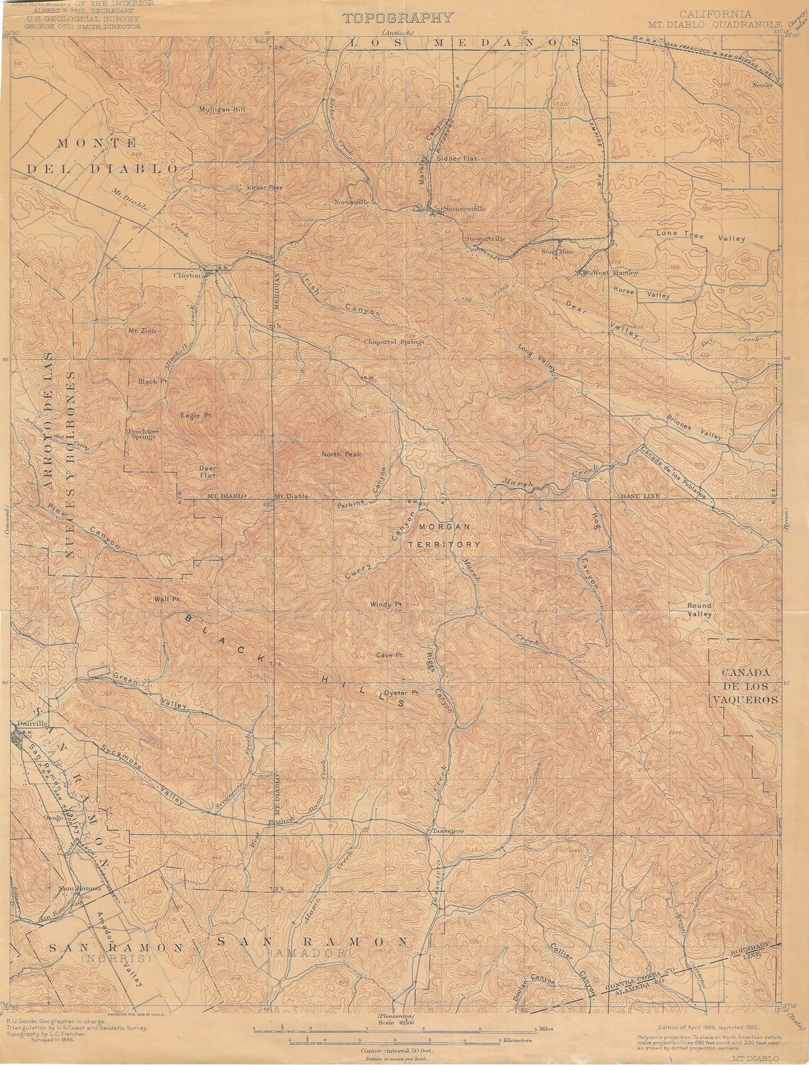
1922 (1898) USGS Topo Mt Diablo Quad 15 Minute
$25.00
In stock: 1 available
Product Details
Measures 14.5 x 19" . Copper engraved sheet relating to the center of western mapping, Mt. Diablo, the western starting point of the township and range grid established in 1848 to map the expanding United States of America. Exempt from these boundaries are the California Rancho Lands established prior to 1848 and confirmed by the US Federal courts in the 1850's through the 1880's. Tis issue tanned and trimmed and priced accordingly
Save this product for later
1922 (1898) USGS Topo Mt Diablo Quad 15 Minute
Display prices in:USD
Always striving to bring a selection of maps to meet most map lovers needs.
Images for all inventory is an on-going project so let us know if image is necessary to make your purchase. Thank you!
