
Schein & Schein Old Maps
For People Who Love Maps
Shop Now
Categories
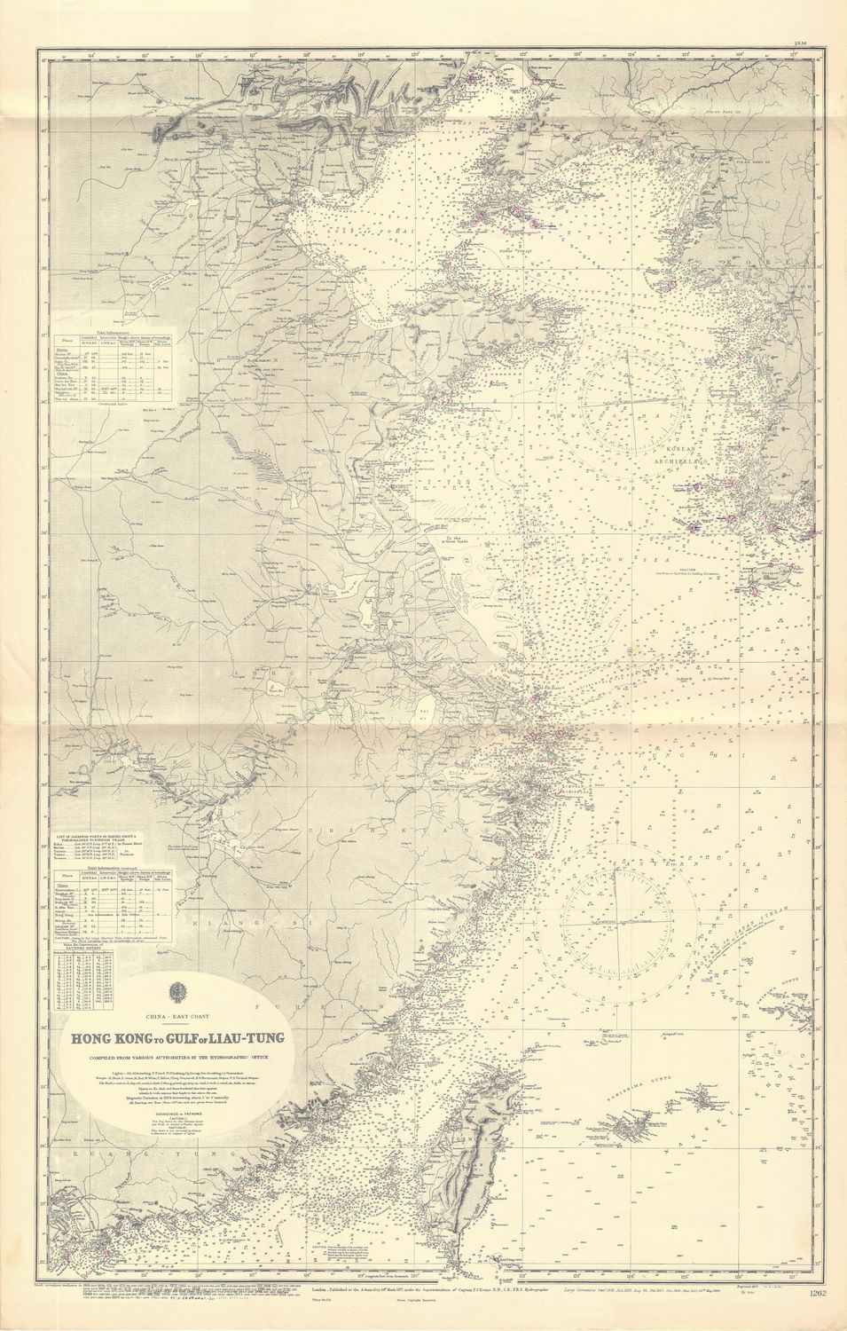
1965 (1877) Chart from Hong Kong China to Liau-Tung, China
$155.00
In stock: 1 available
Product Details
27 x 48" Oceanic Navigation Chart from updated sources starting in the 1830 Office of Hydrography for the British Admiralty and being used and updated by NOAA or USC &GS Or other American or Foreign Naval sources in duration. Fine detailed condition . Manuscript additions evident in pencil from last use of 1978. This sheet covers From Hong Kong to Liau-Tung along the East Coast of China , from the mouth of the Canton River to the Bay separating China from Korea, past all South China Sea neighbors.
Save this product for later
1965 (1877) Chart from Hong Kong China to Liau-Tung, China
Display prices in:USD
Always striving to bring a selection of maps to meet most map lovers needs.
Images for all inventory is an on-going project so let us know if image is necessary to make your purchase. Thank you!
