
Schein & Schein Old Maps
For People Who Love Maps
Shop Now
Categories
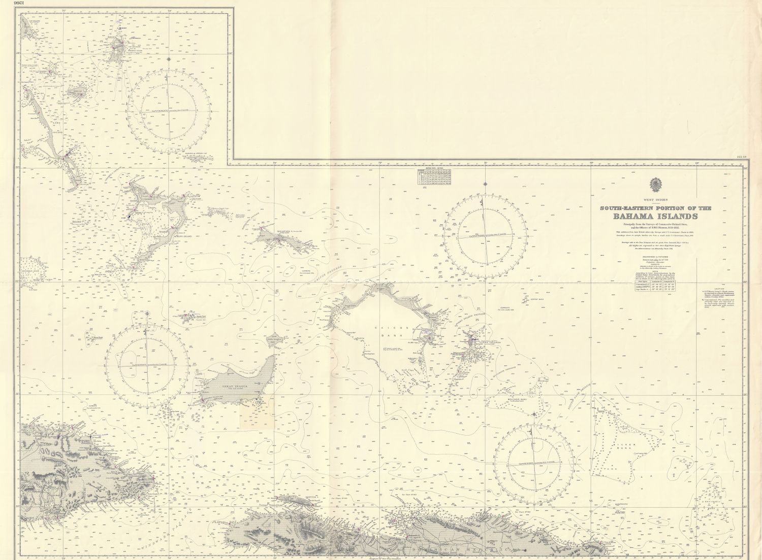
1965 (1889) Chart of the South Eastern End of the Bahamas
$155.00
In stock: 1 available
Product Details
40 x 48" Oceanic Navigation Chart from updated sources starting in the 1889 Office of Hydrography for the British Admiralty and being used and updated by NOAA or USC &GS Or other American or Foreign Naval sources in duration. Fine detailed condition . Manuscript additions evident in pencil from last use of 1978. This sheet covers
the south east section of the Bahamian Chain includes parts of the DR, Haiti, Cuba and the Turks and Caicos in their entirety .
Save this product for later
1965 (1889) Chart of the South Eastern End of the Bahamas
Display prices in:USD
Always striving to bring a selection of maps to meet most map lovers needs.
Images for all inventory is an on-going project so let us know if image is necessary to make your purchase. Thank you!
