
Schein & Schein Old Maps
For People Who Love Maps
Shop Now
Categories
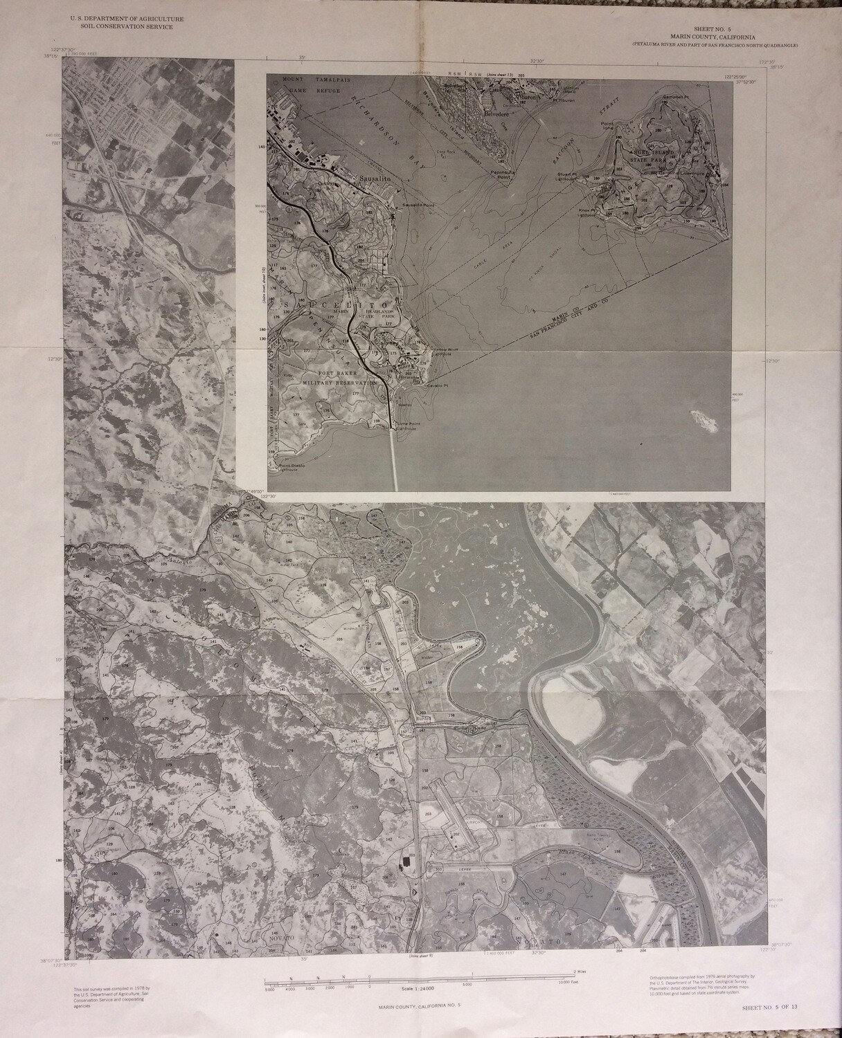
1976 Marin Soil Sheet Dept. of Interior Litho
$20.00
In stock: 6 available
Product Details
Measures 22 x 26.5" 2 sided printing , one side covers Bel Marin Keys area, the other Pt Reyes, Drake's Estero and the National Shoreline . Drainage, flow and tides are indicated in this series of technical maps , they were used relating to development and flooding within the county. Produced by the Dept of the Interior for such purposes . From an SF based engineering firm archive , now divested .
Save this product for later
1976 Marin Soil Sheet Dept. of Interior Litho
Display prices in:USD
Always striving to bring a selection of maps to meet most map lovers needs.
Images for all inventory is an on-going project so let us know if image is necessary to make your purchase. Thank you!
